Standard maps show the fastest route. We show the safest.
Navigate and live in your city with confidence. Get real-time safe routing for your daily commute, and check localized risk scores before buying a home or choosing a school for your kids.
Join the Beta Waitlist* The public beta has not started yet. Email us to secure your early access spot.
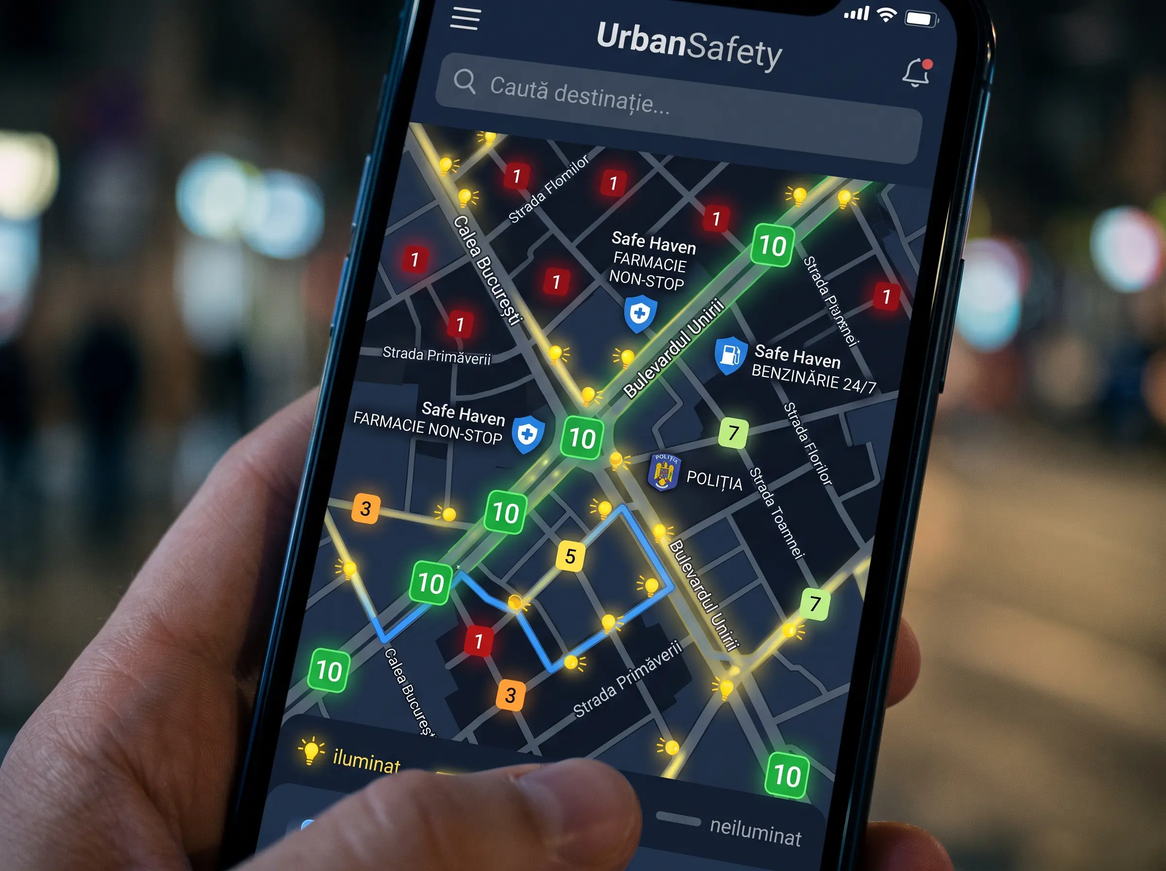

Smart Navigation
Avoid dark alleys and unlit shortcuts. Our routing engine actively guides you through populated, well-illuminated main streets during evening hours.
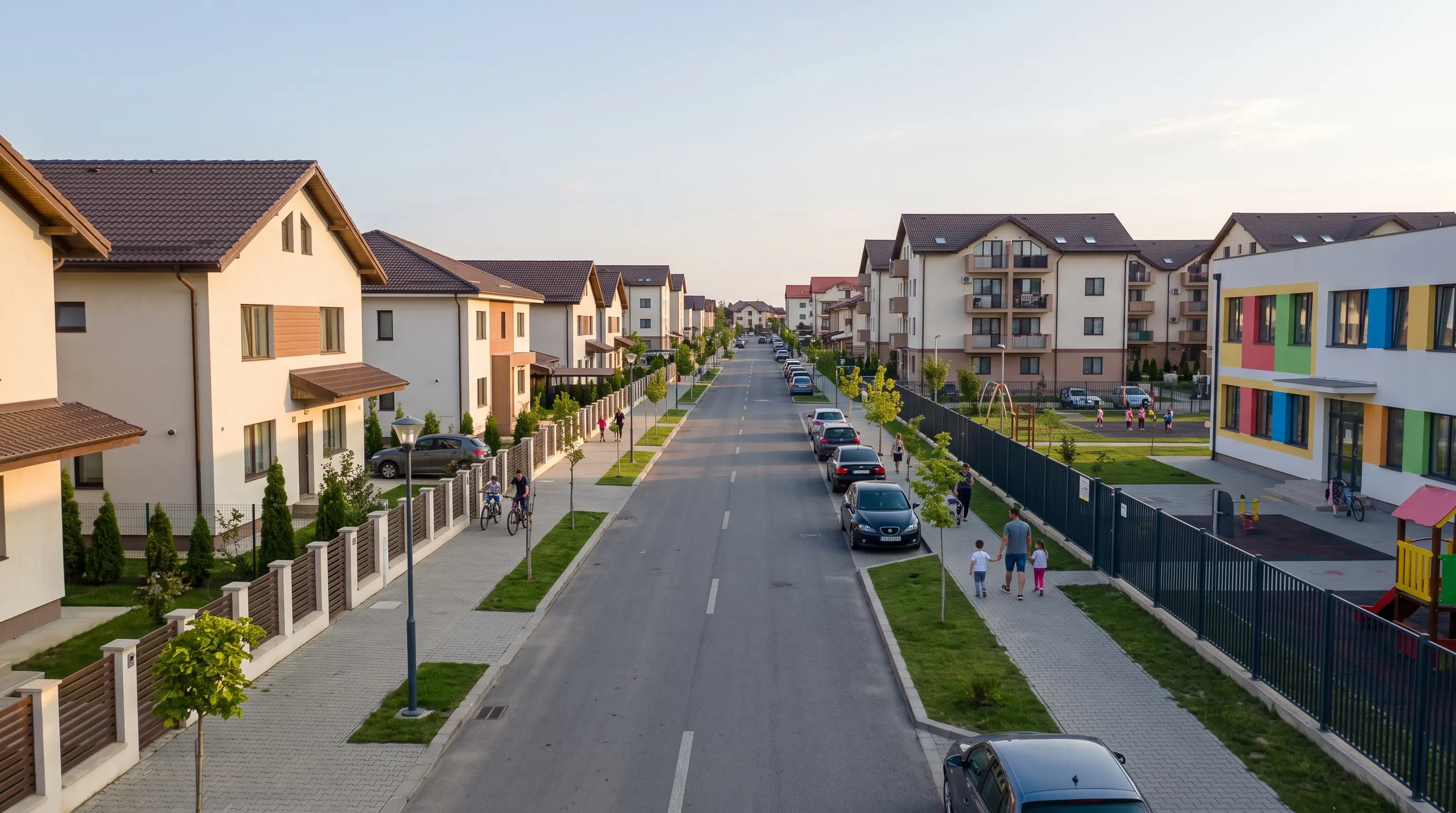
Neighborhood Risk Scores
Buying a home or choosing a school? Review historical risk baselines and localized safety scores to ensure your family lives in a secure, welcoming area.

Live Hazard Reports
Know before you go. View real-time community reports about broken streetlights, stray animals, or temporary hazards on your route.
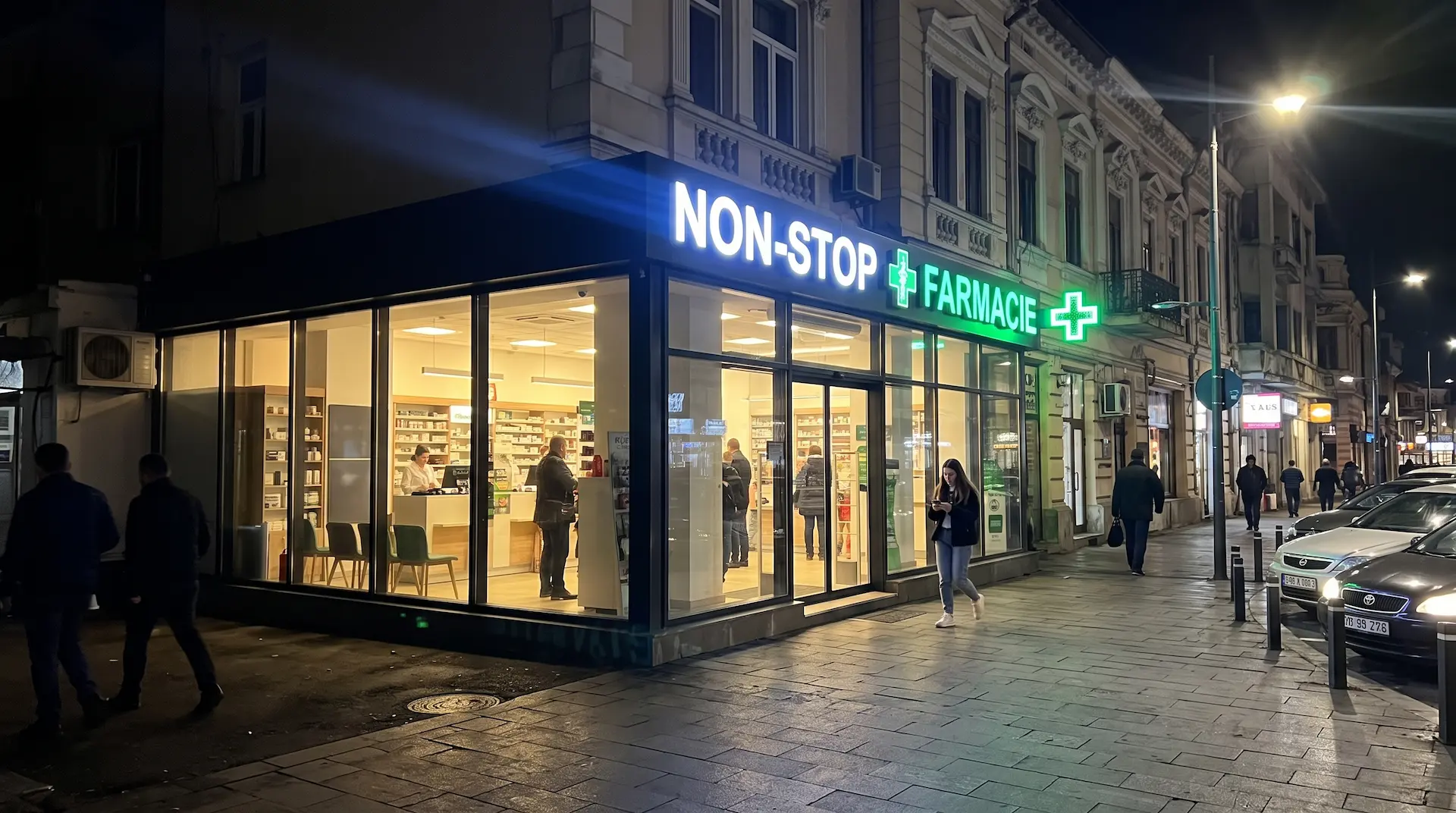
Verified Safe Havens
If you ever feel uncomfortable, one tap immediately directs you to the nearest 24/7 open, staffed business like a pharmacy or hotel lobby.